
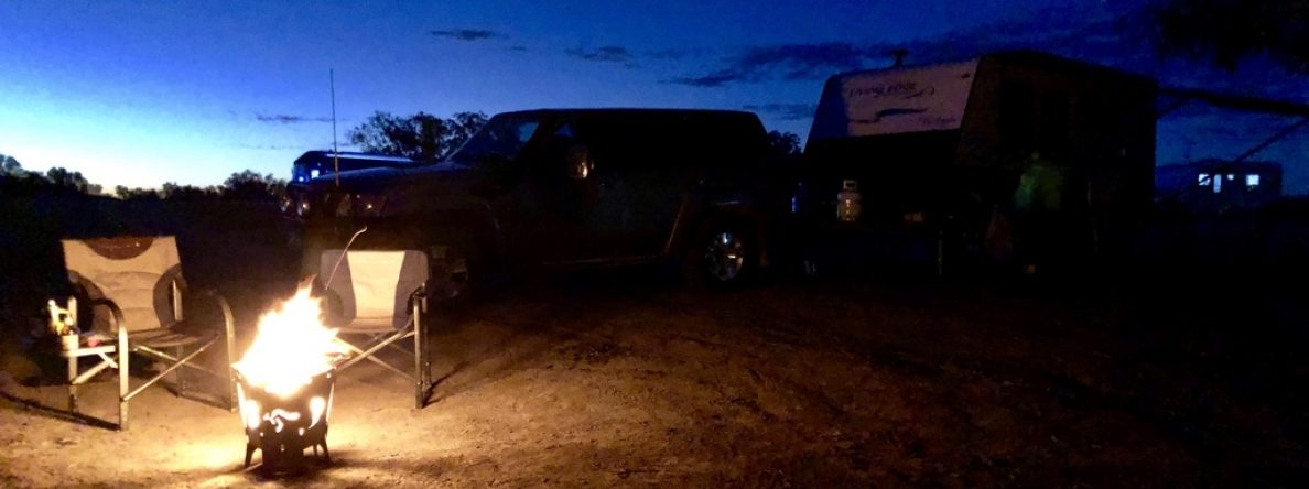
TUESDAY 28 SEPTEMBER
Norm’s son, James suggested we visit this area, as well as the Trephina Gorge in the East Macs. He told us that back in 2017, he had published a research paper in the Australian Journal of Earth Sciences following work he and his team undertook, studying the structure and tectonic history of the Armadeaus Basin. These areas were included in his research:
http://dx.doi.org/10.1080/08120099.2017.1290683
Many of the details in the report are scientific and probably too detailed for mere mortals. Below is a link to more basic information about this particular area:
https://nt.gov.au/leisure/parks-reserves/find-a-park/find-a-park-to-visit/owen-springs-reserve
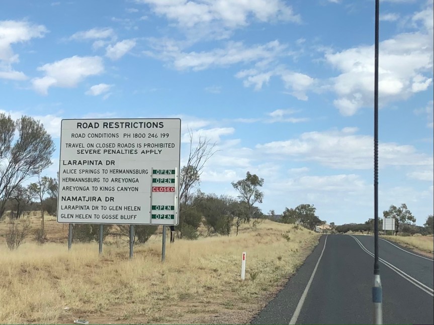
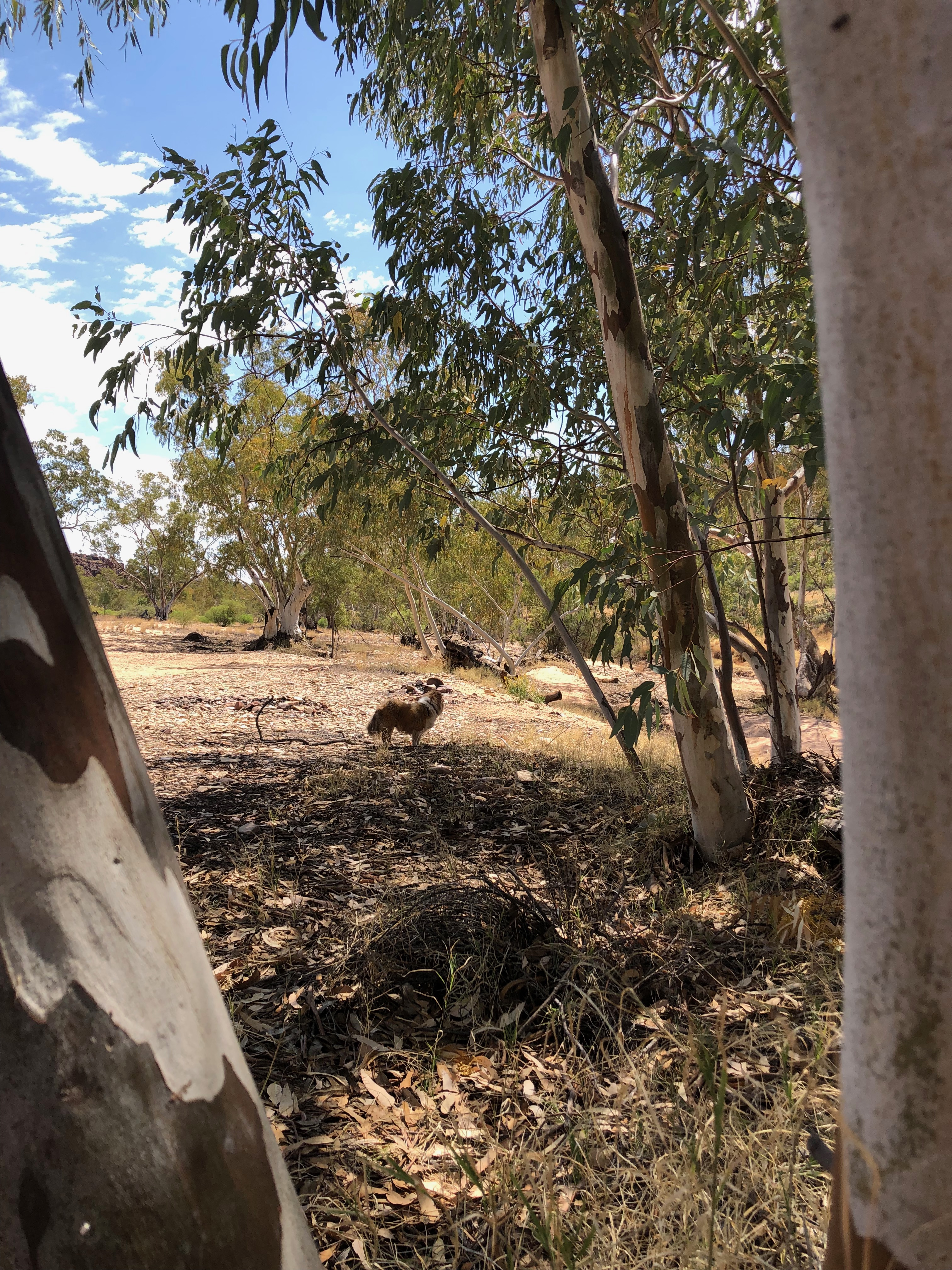
Larapinta Drive passes through spectacular and scenic landscapes of soaring red, cream, brown cliffs, with the textural spiky balls of spinifex blanketing the lower levels, and flat fields of golden Mitchell Grass below, dotted with the various greens from grey blue, olive to bright green of the trees and shrubs, growing randomly scattered throughout. Small finches, bight green budgerigars, olive green ring necked parrots, crows, kites and hawks were some of the birds we saw as we drove along.

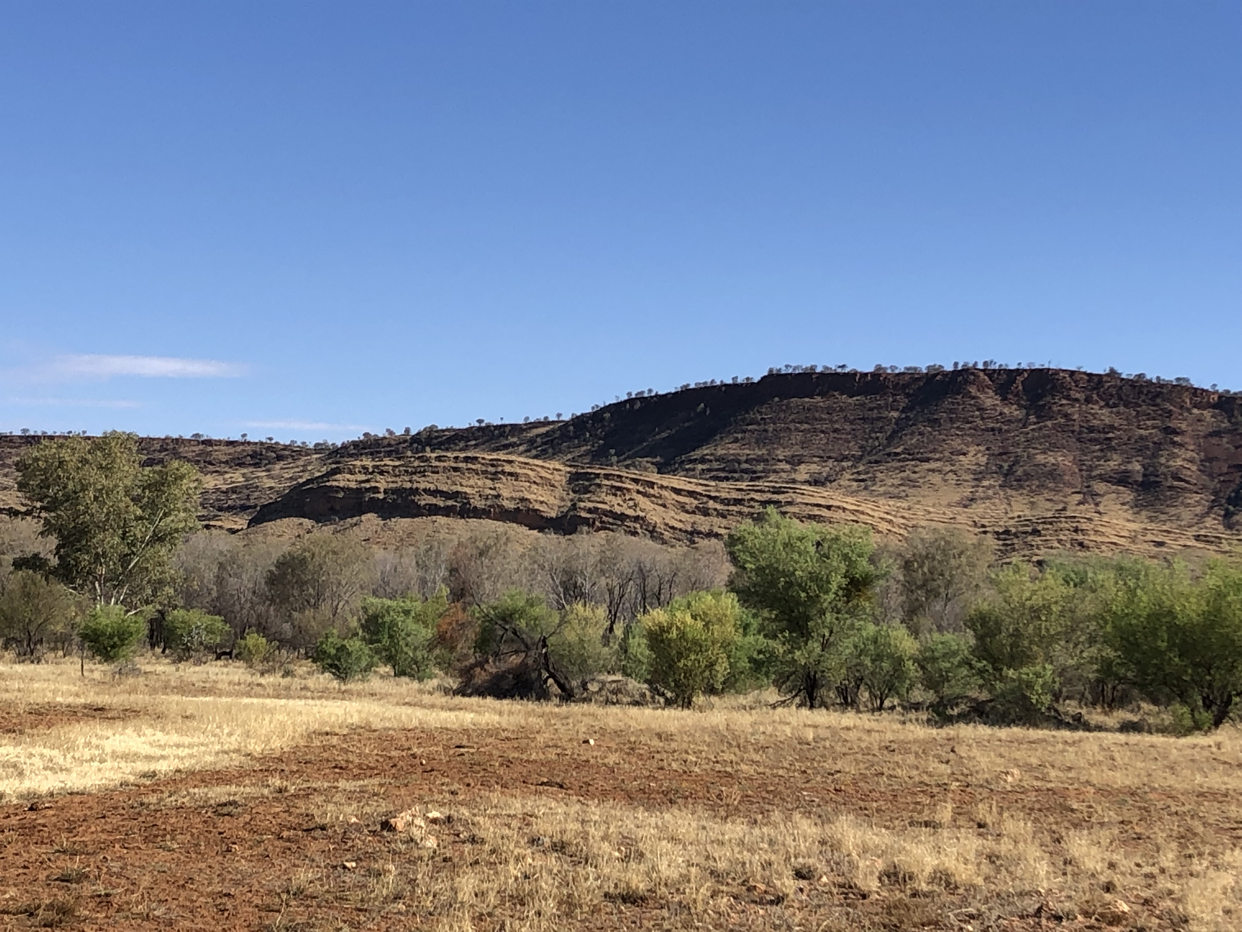
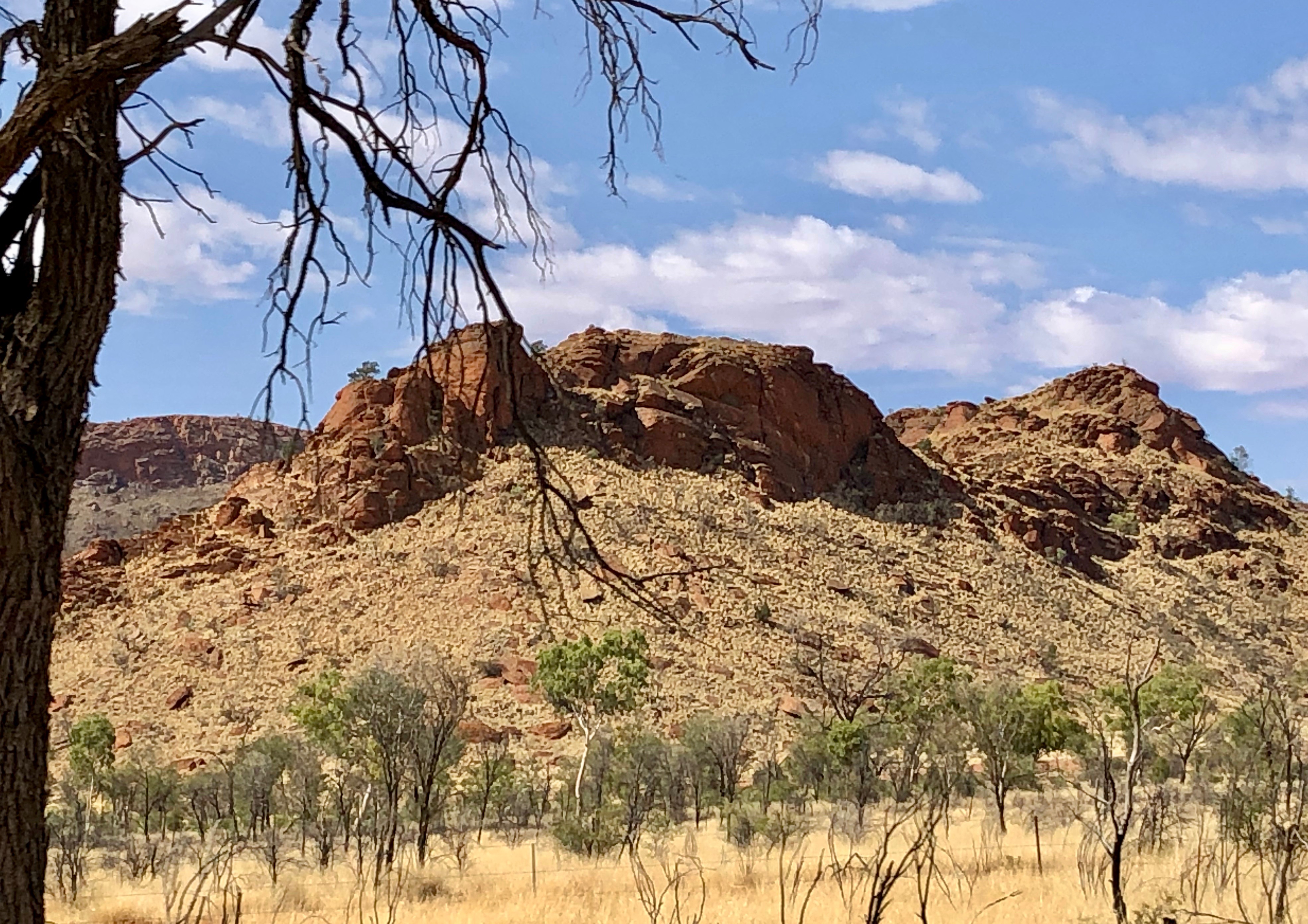

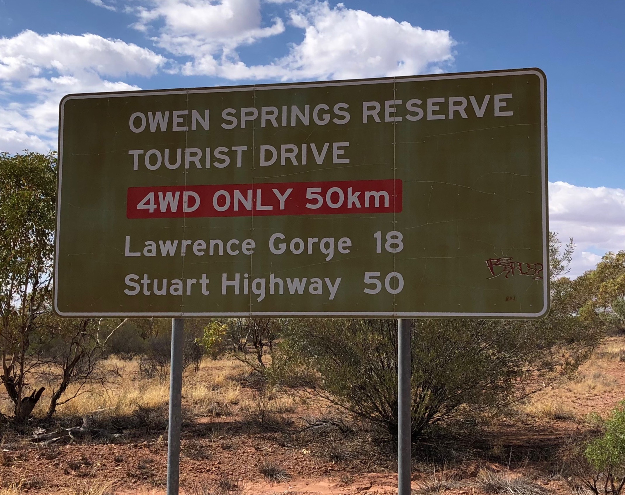
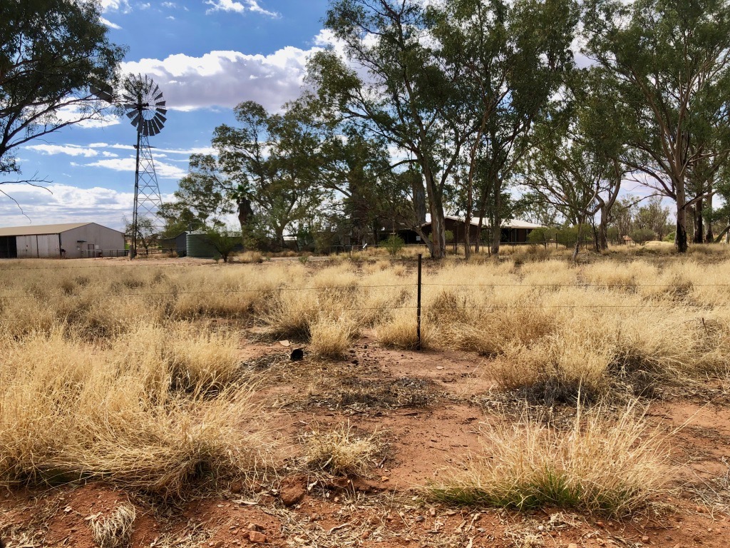
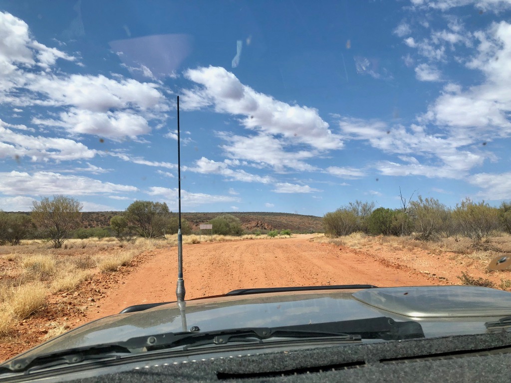
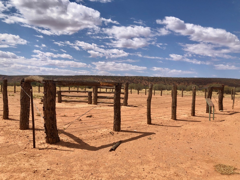
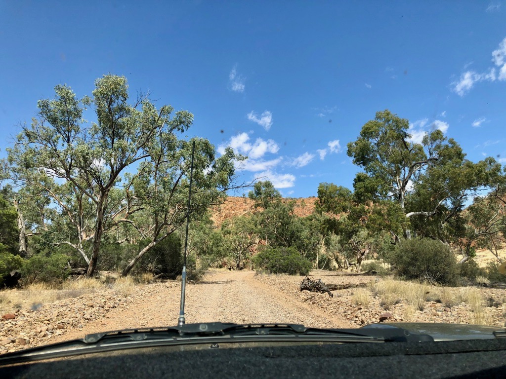
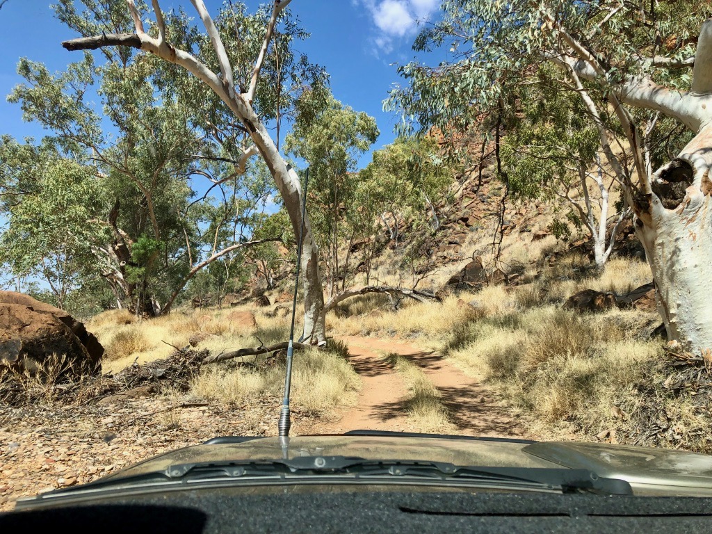
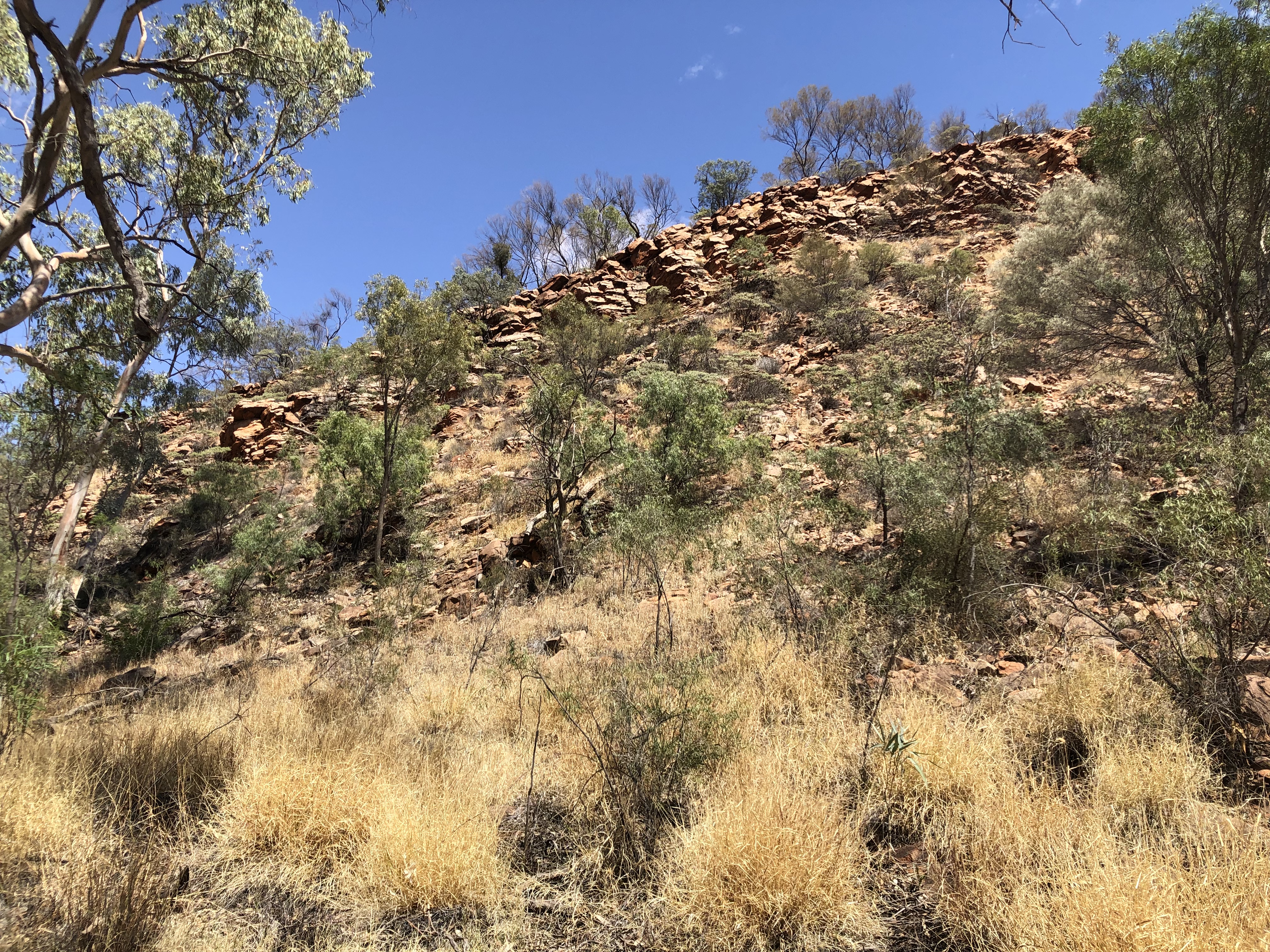
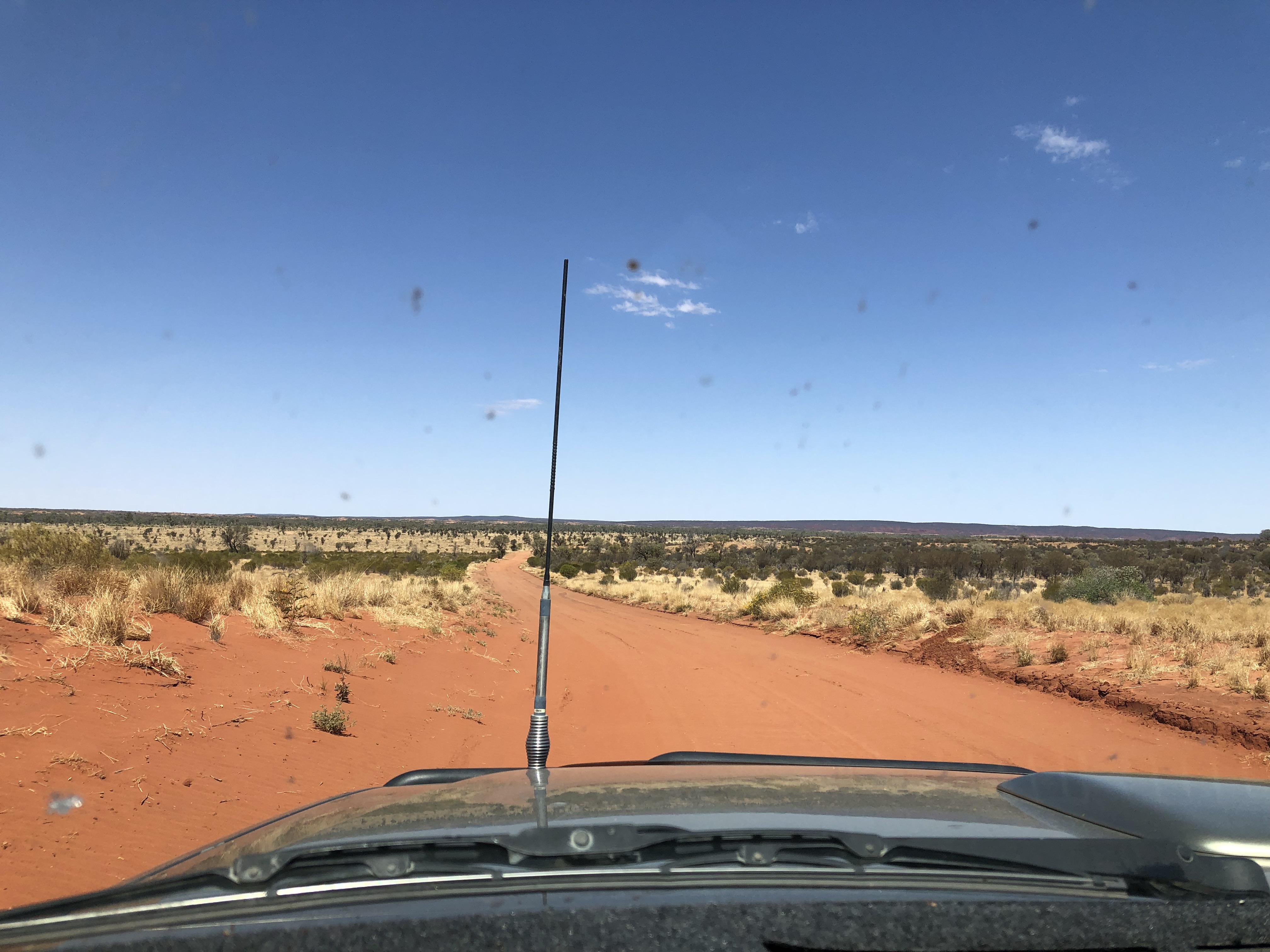
The Owen Springs Reserve was formally a cattle station which was established by a cattleman, William Gilbert back in the 1870’s. About 50 kms out of Alice, we turned onto the 4WD gravel track into the Reserve. Soon after we passed the Ranger’s residence, we could see the Waterhouse Range rising ahead of us.


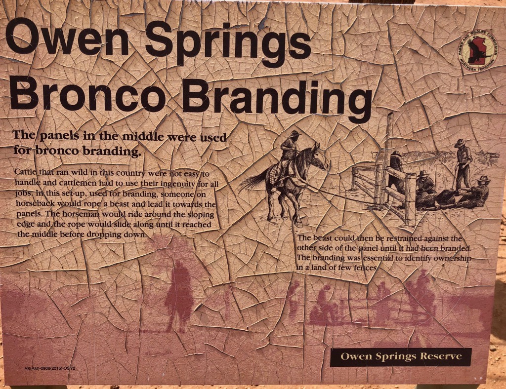
The sun crazed sign at the rustic cattle yards described how the wild broncos were branded there.

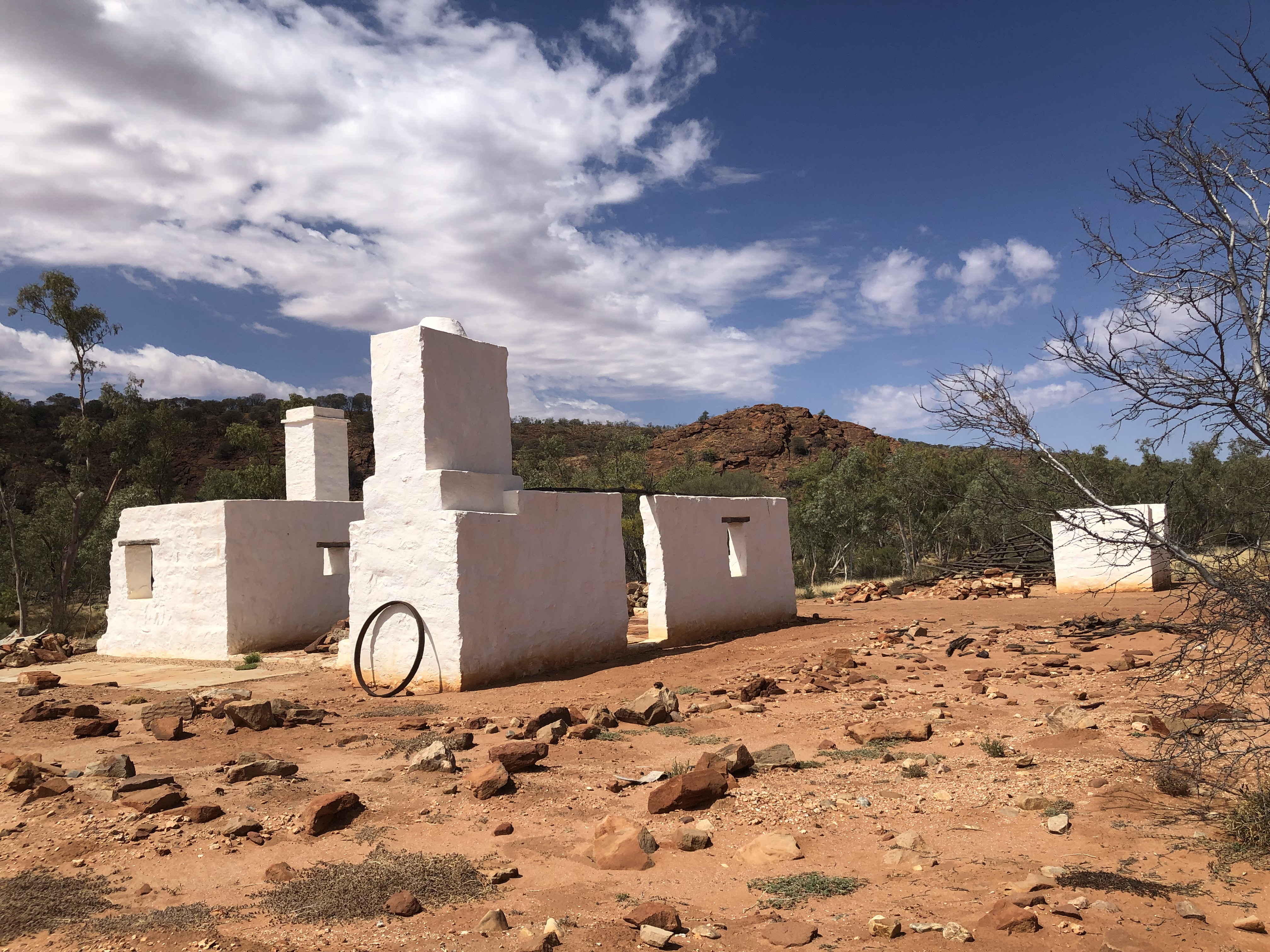
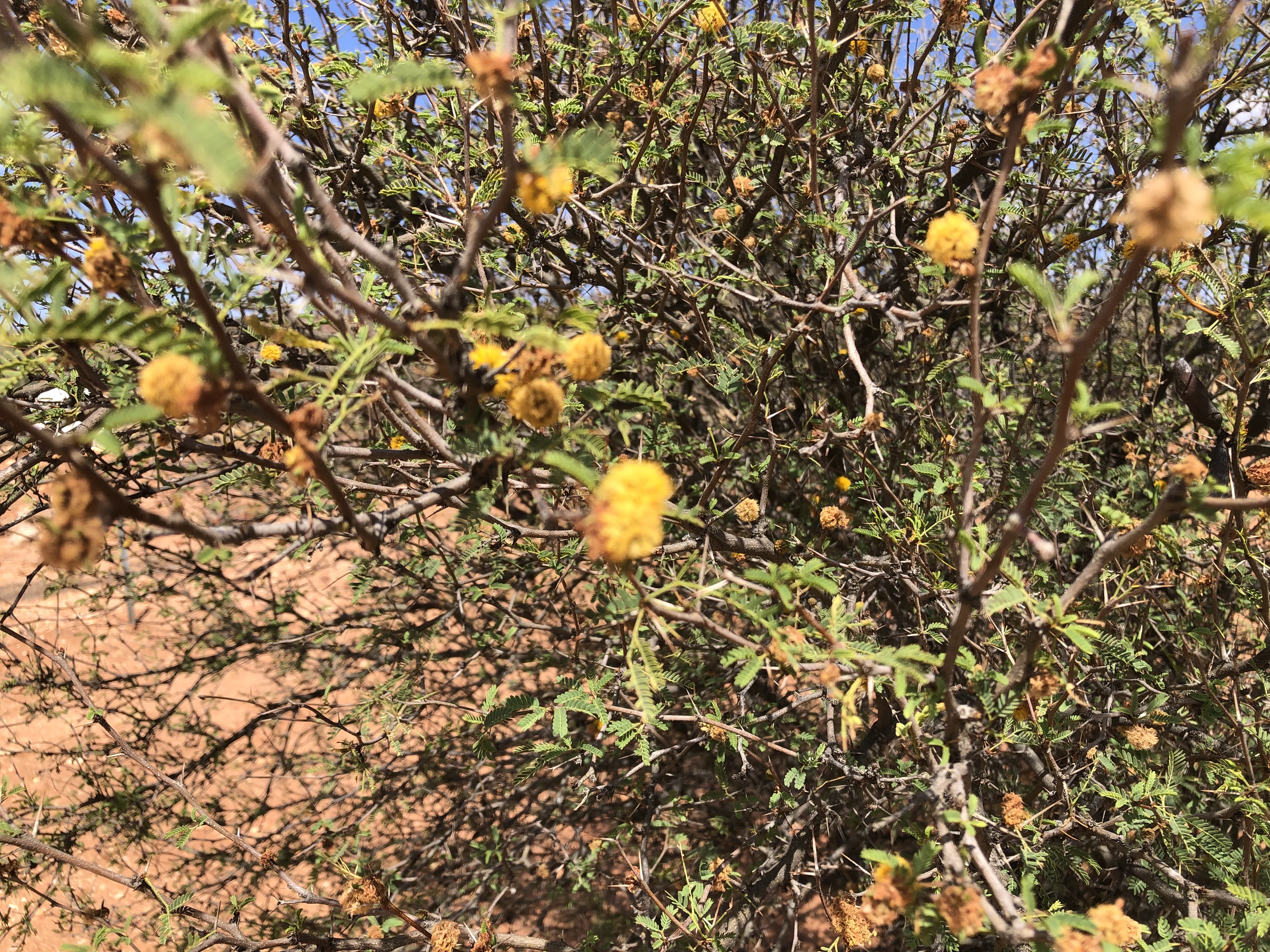
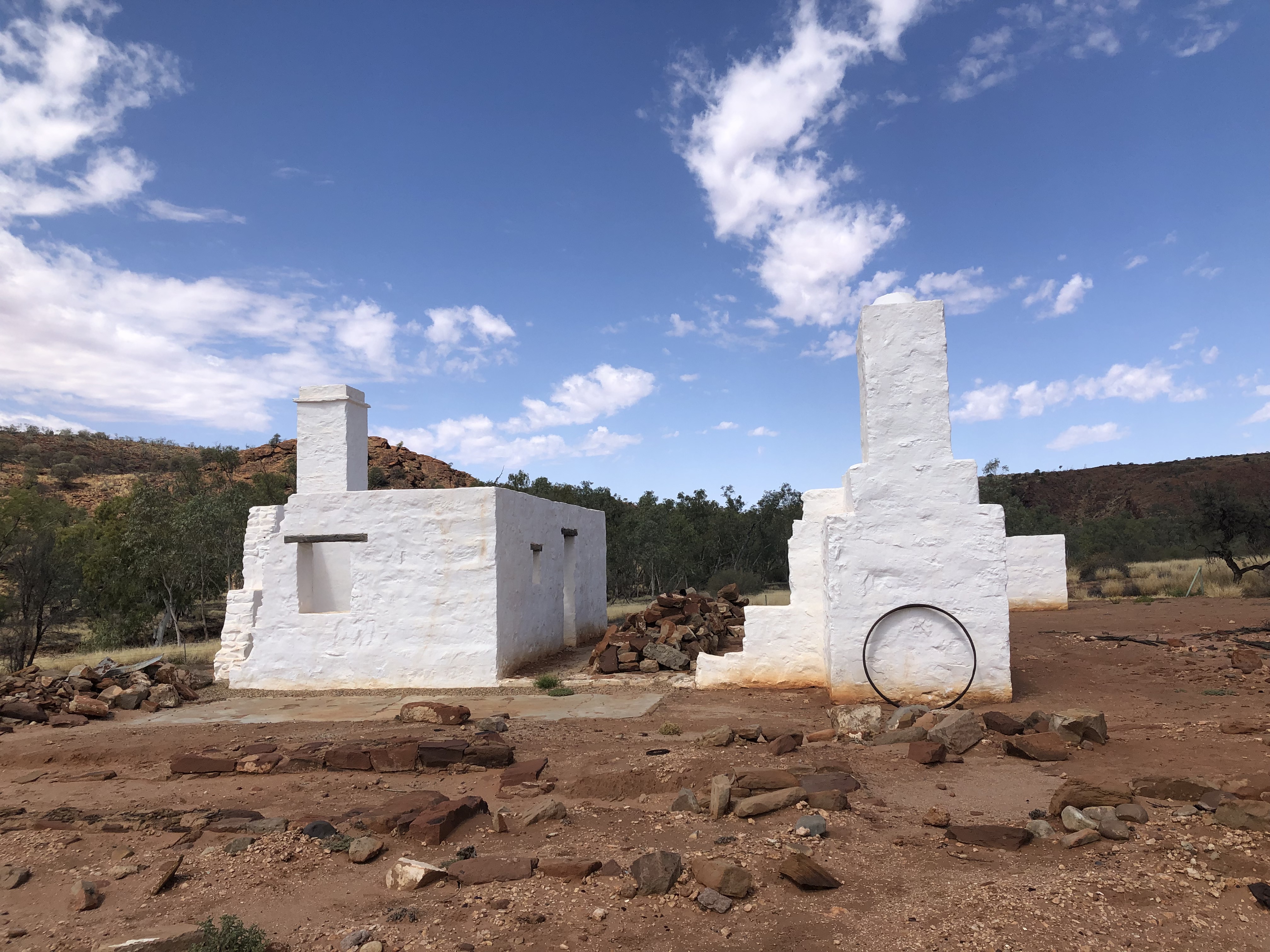
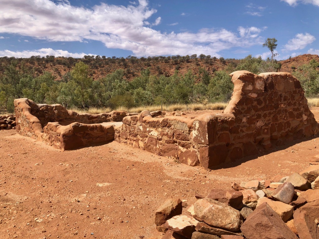
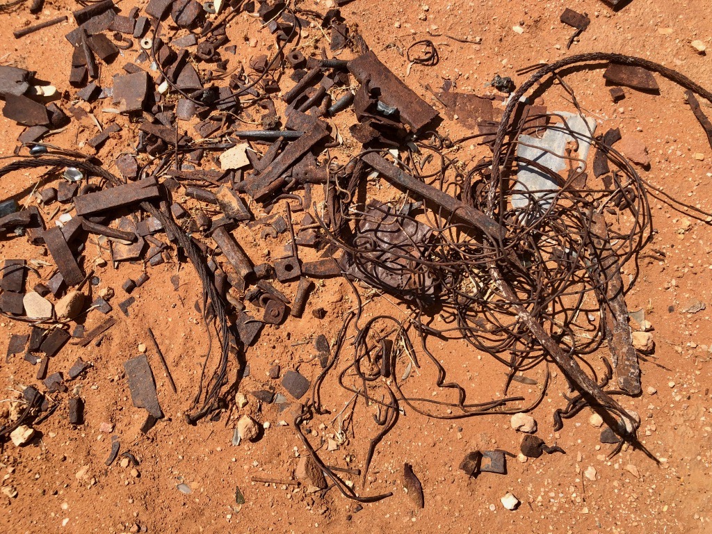
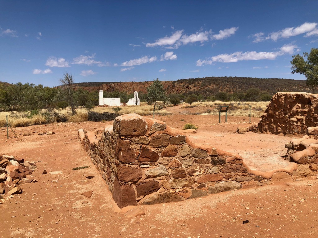
Gilbert’s original dwelling, constructed of timber and thatch has long disappeared. The stark white stone ruins are of a more modern homestead, built in the 1880’s and occupied up until the 1950’s. Rusty scraps of metal were scattered around the ruins of the old Blacksmith. Although is looked like it was struggling for life, the perfume of the wattle was sweet and strong.
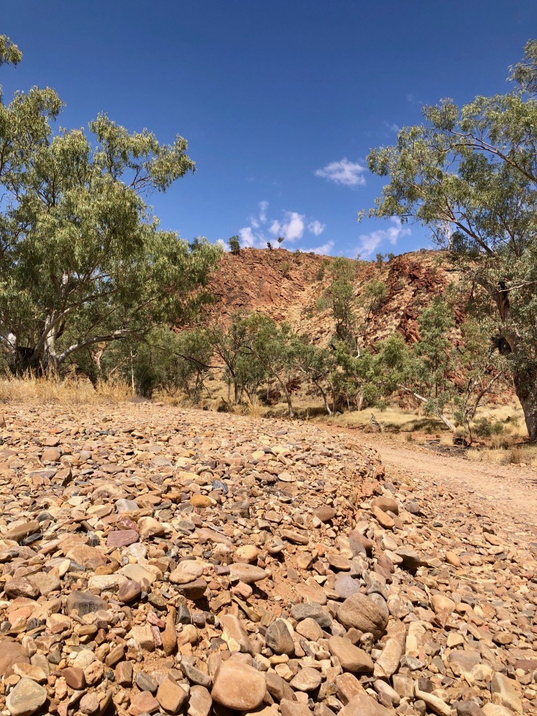
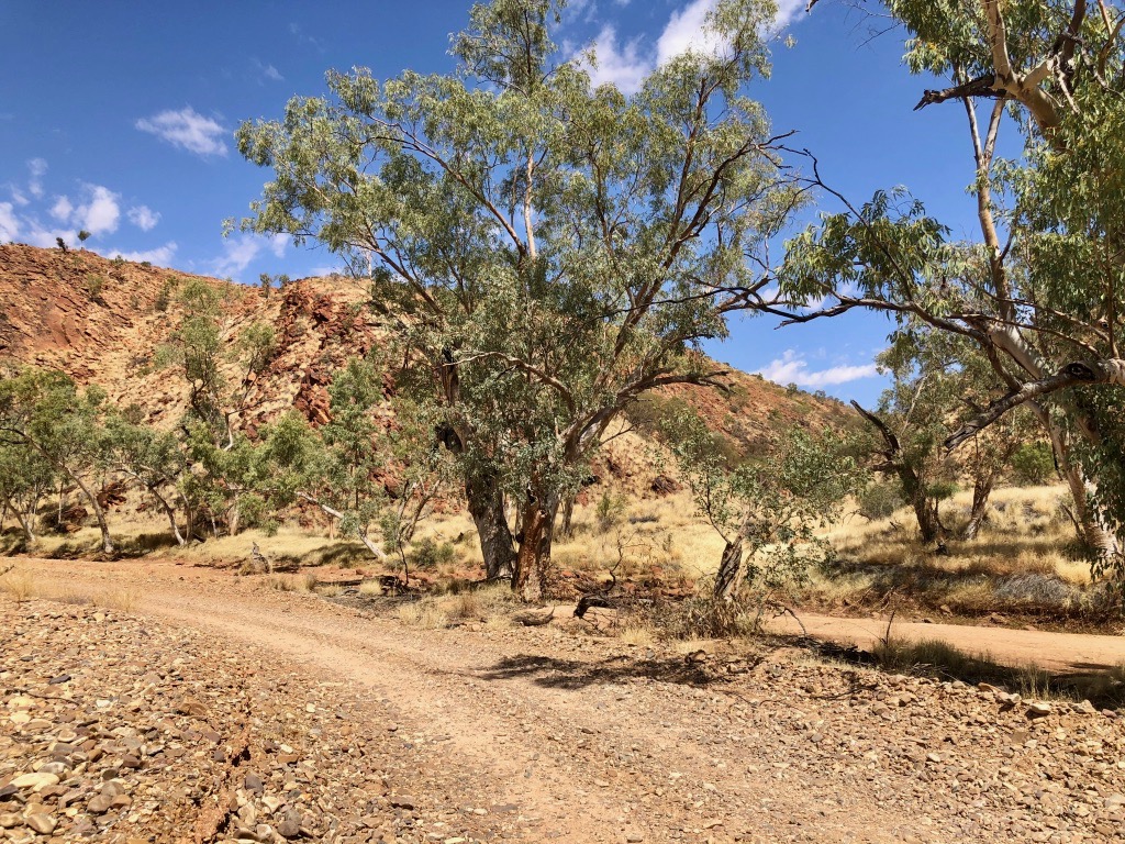
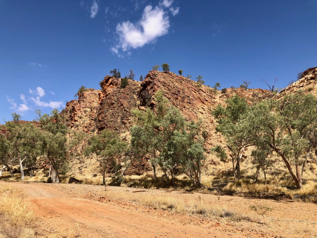
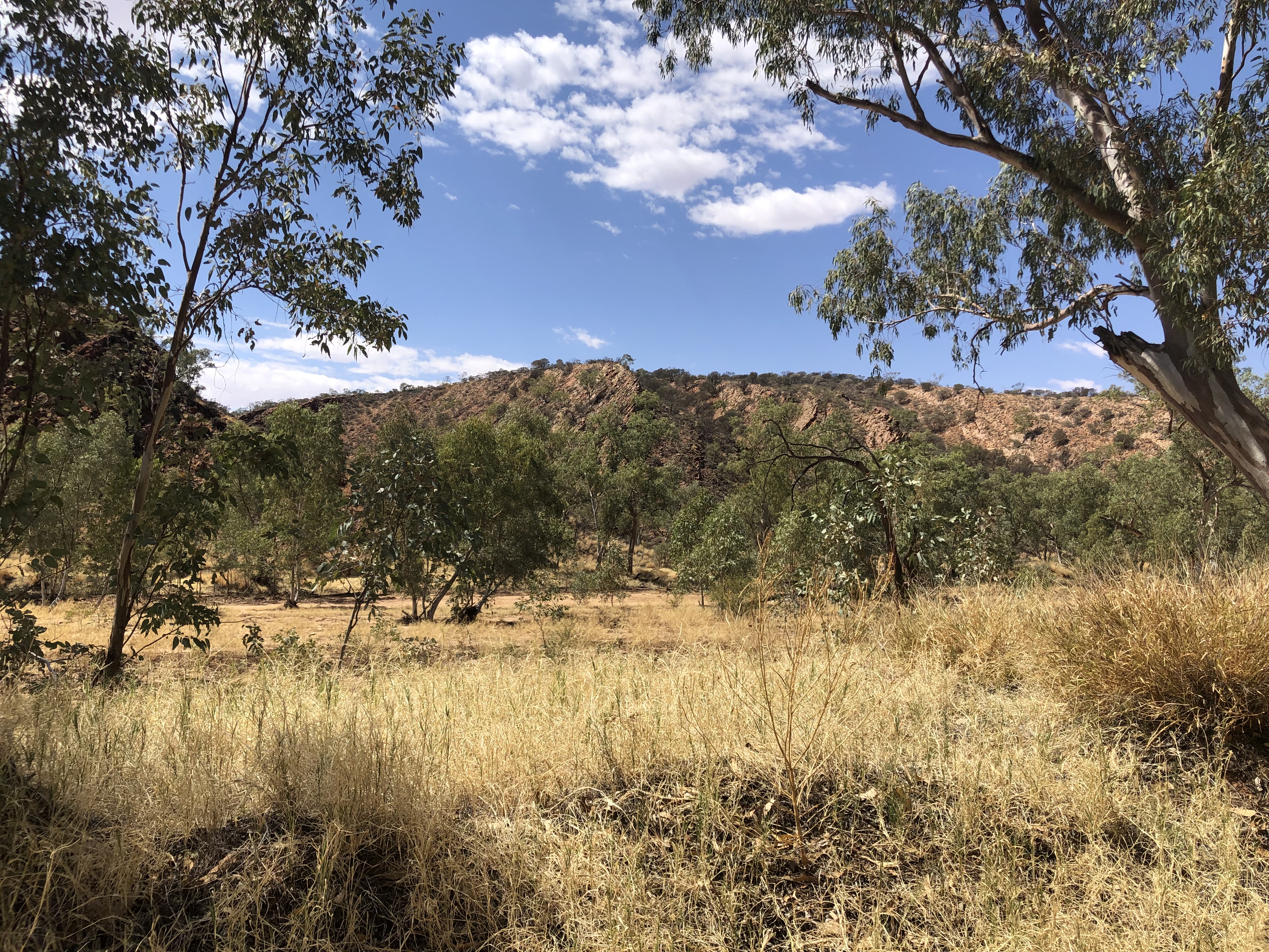
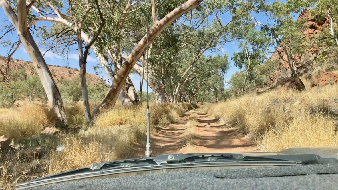
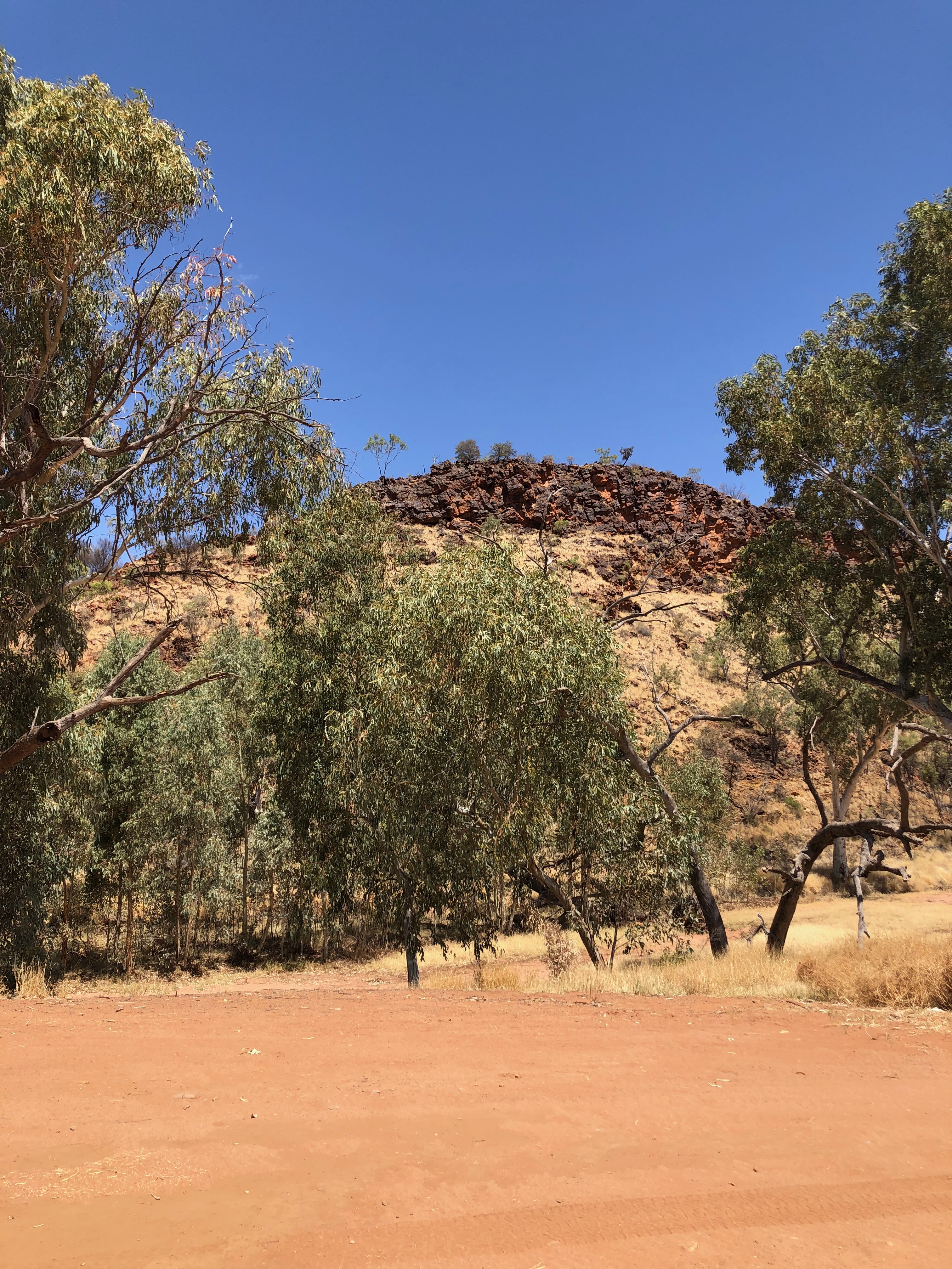
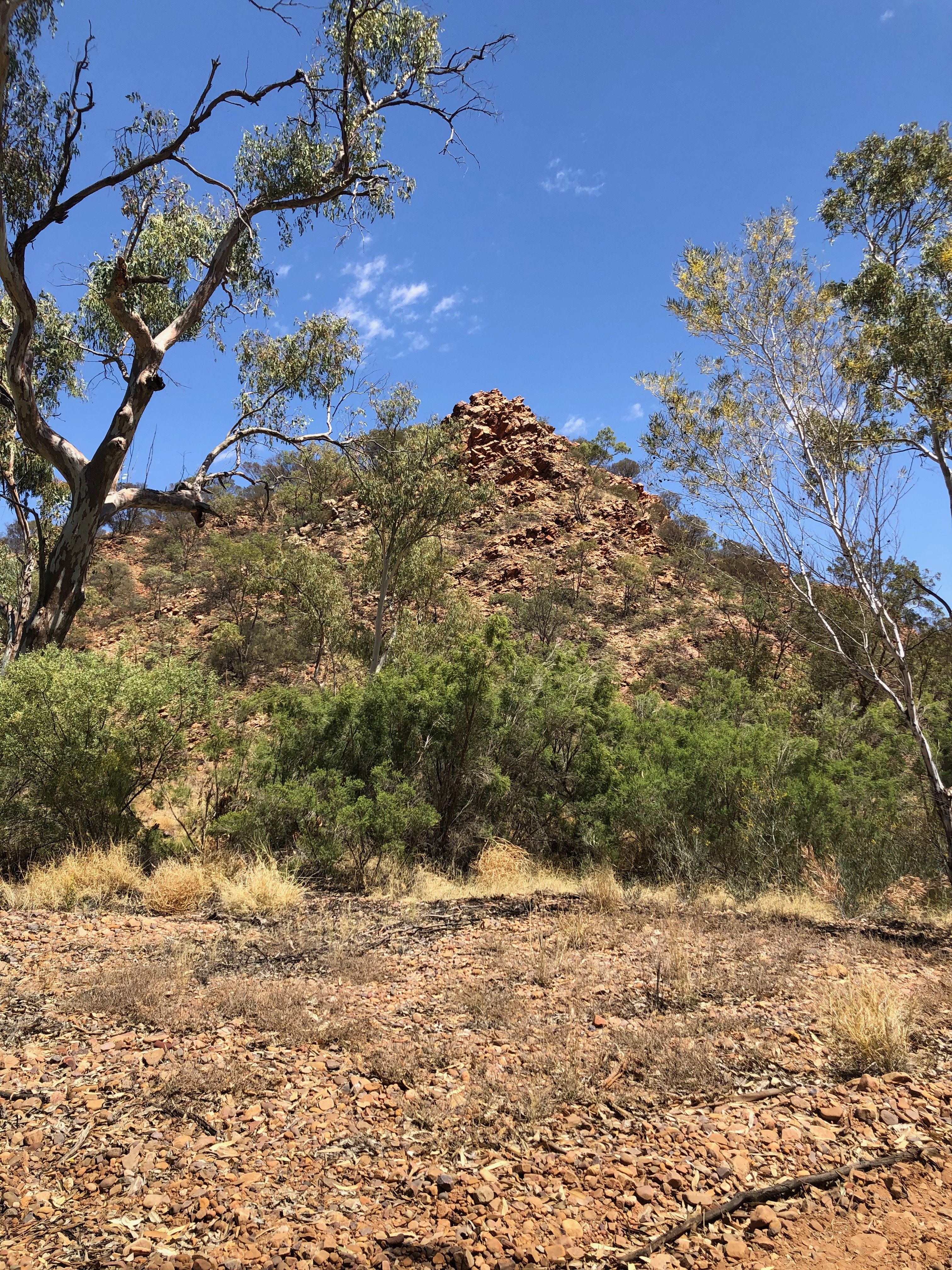
The Hugh River has cut its way through the Waterhouse range, forming the Lawrence Gorge. At this time of year the river is dry, enabling explorers such as ourselves to drive the length of the Gorge along the winding rocky, sandy, undulating river bed. The upturned walls of the gorge told their own story of a time some 400 million years ago, when they were folded and heaved up by ancient tectonic forces. Since then all of the material above them has been eroded and washed away. It is mind blowing to imagine how this land has changed so much over time.
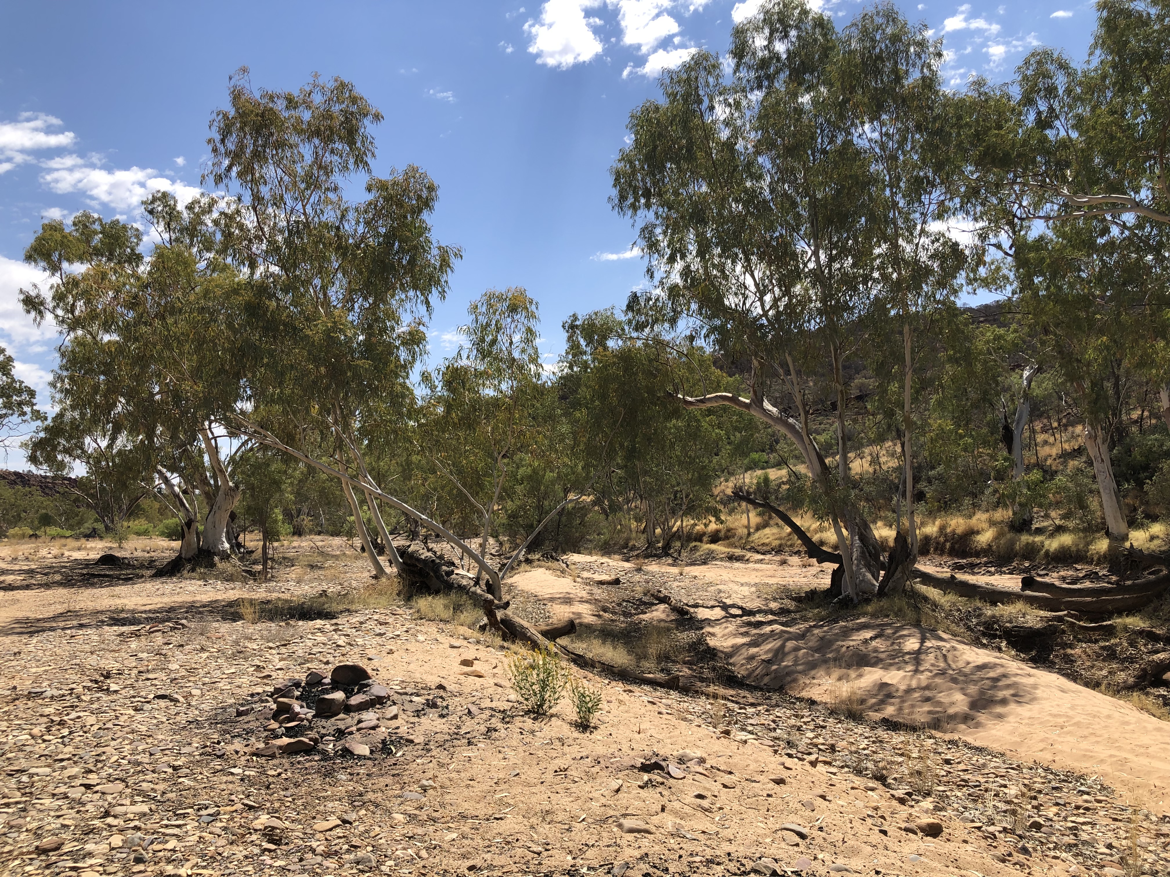

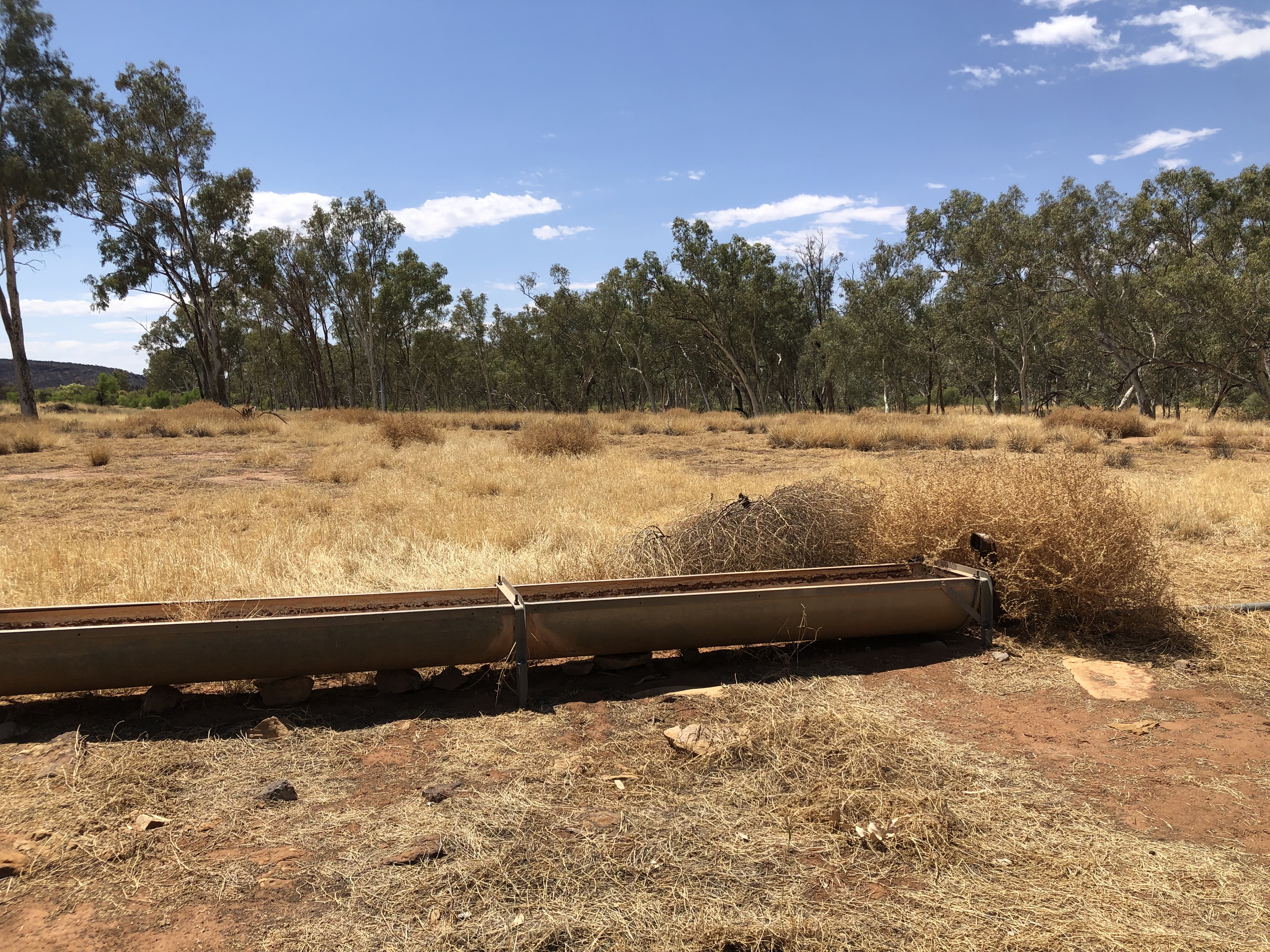
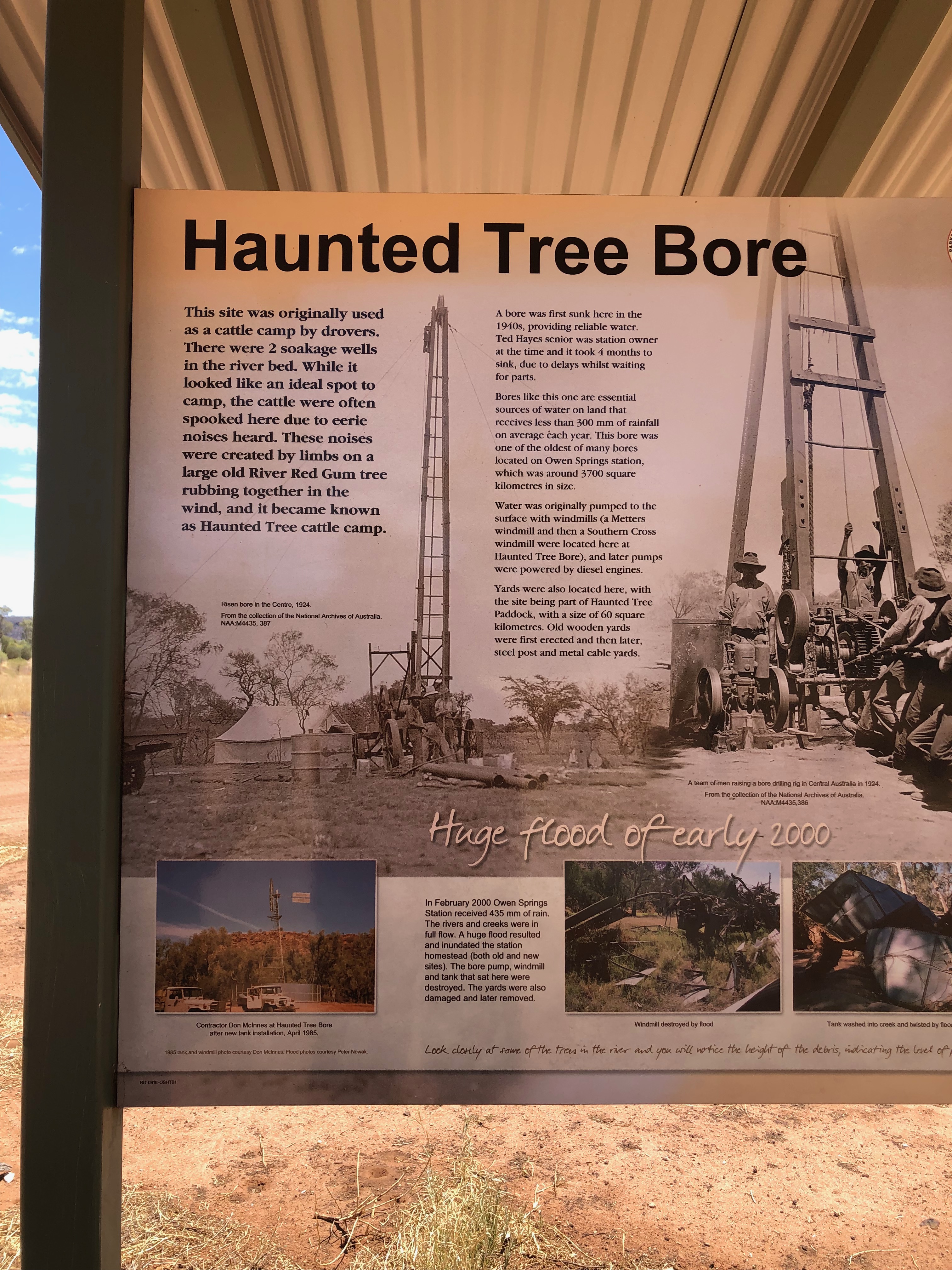
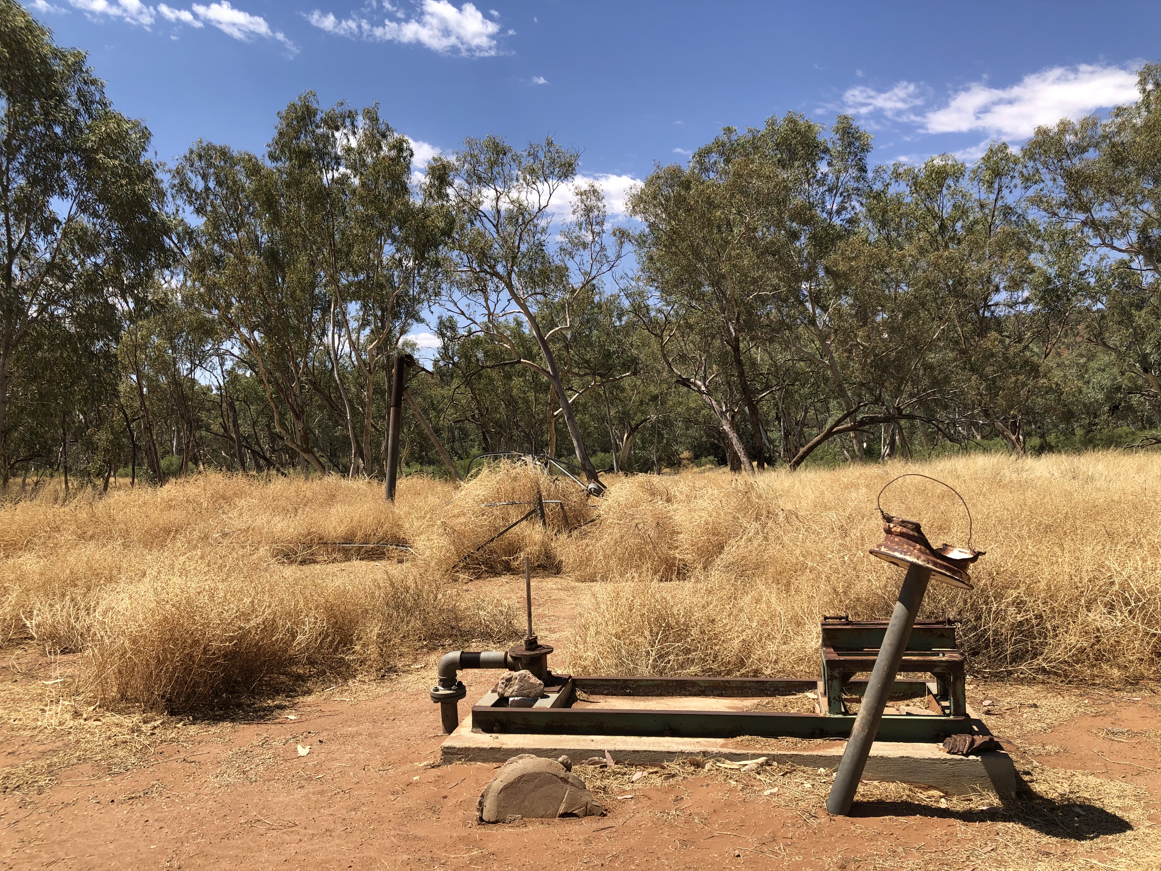
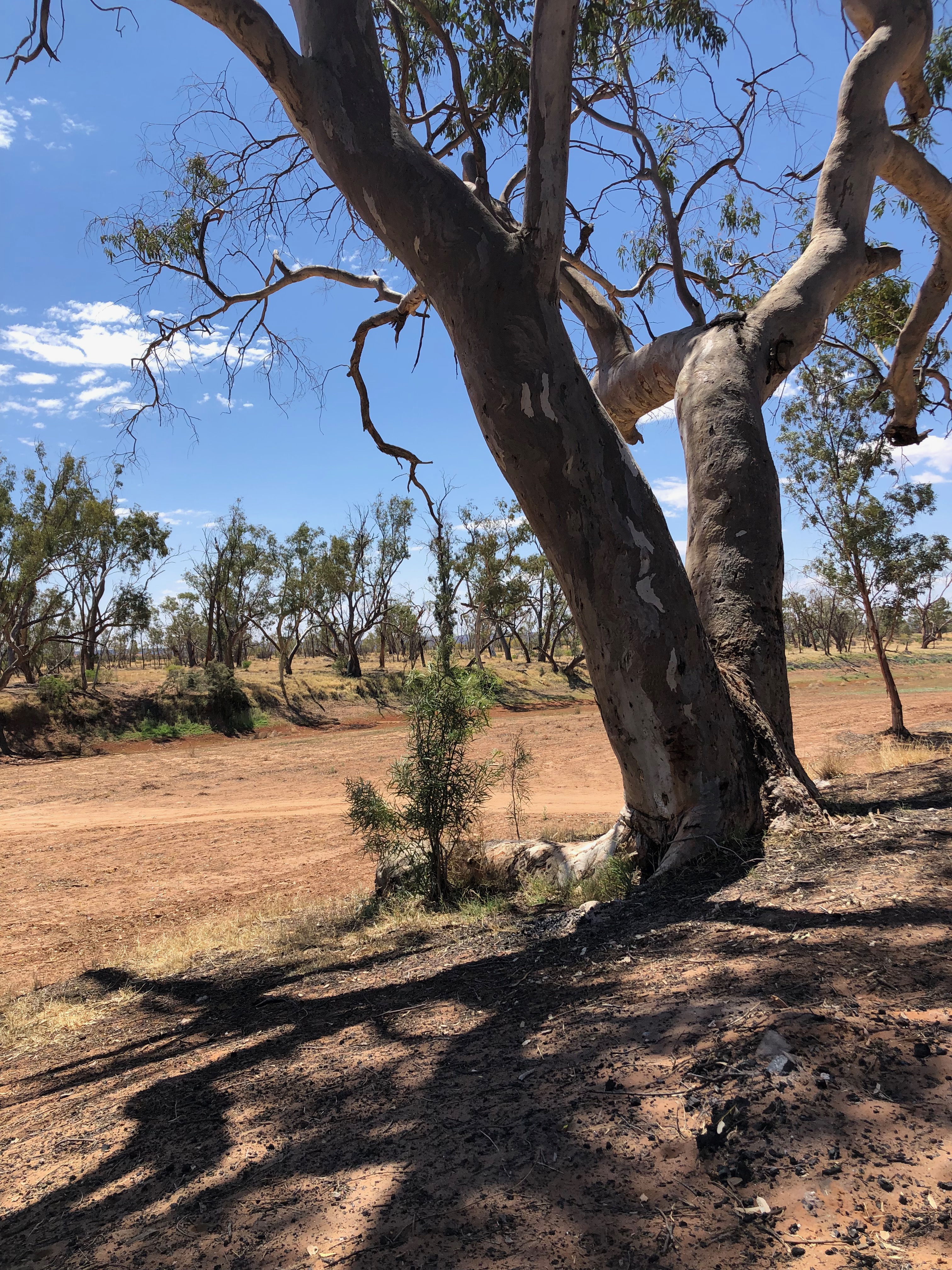
On the other side of the gorge, there are many basic bush camp sites, which would be more appealing when there is water flowing in the Hugh River. We HAD to pause at the ‘Haunted Tree Bore’; however there was no story of intrigue and mystery. It was simply the creaking of the old river gums in the night that spooked the cattle there.
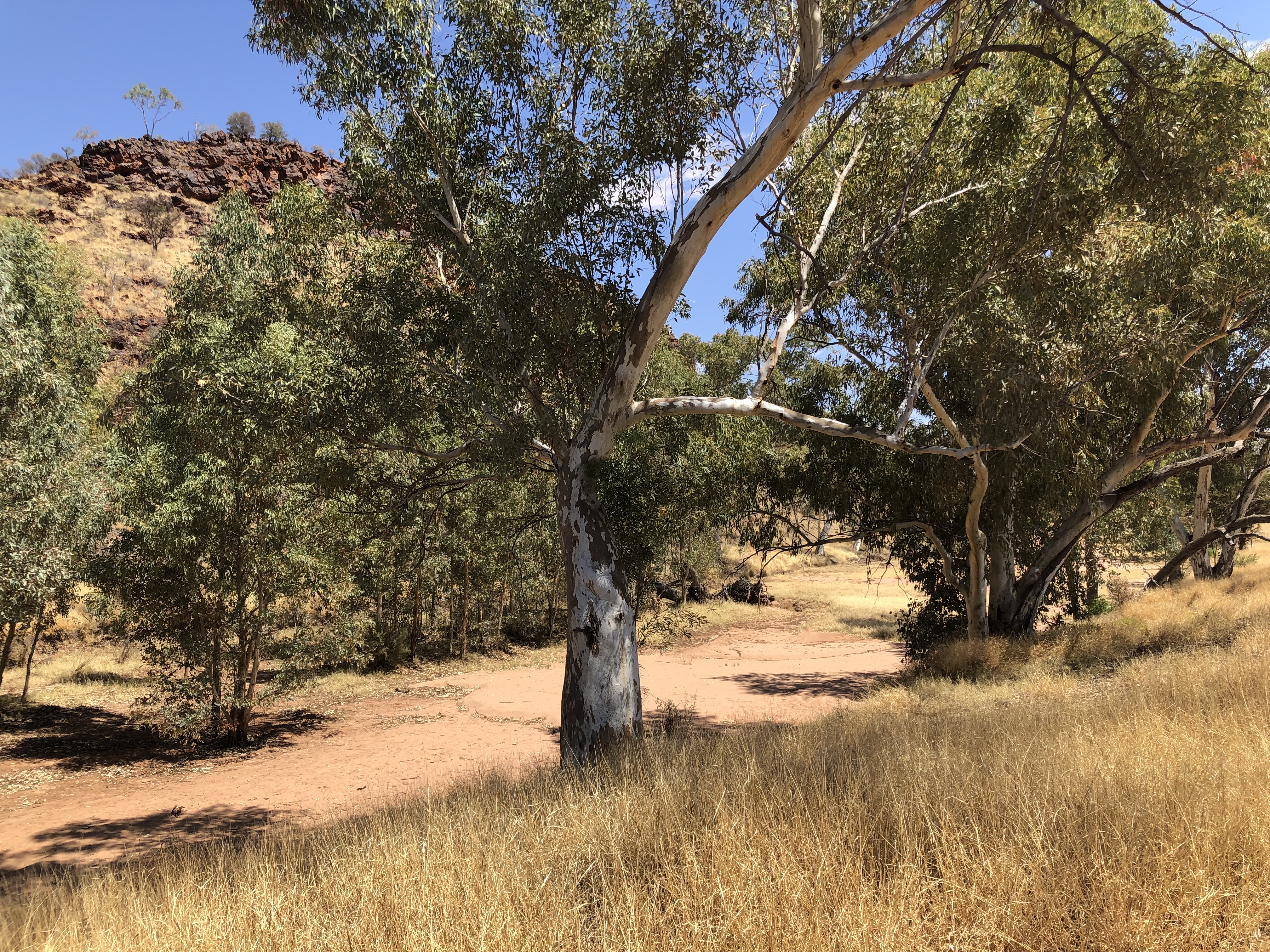
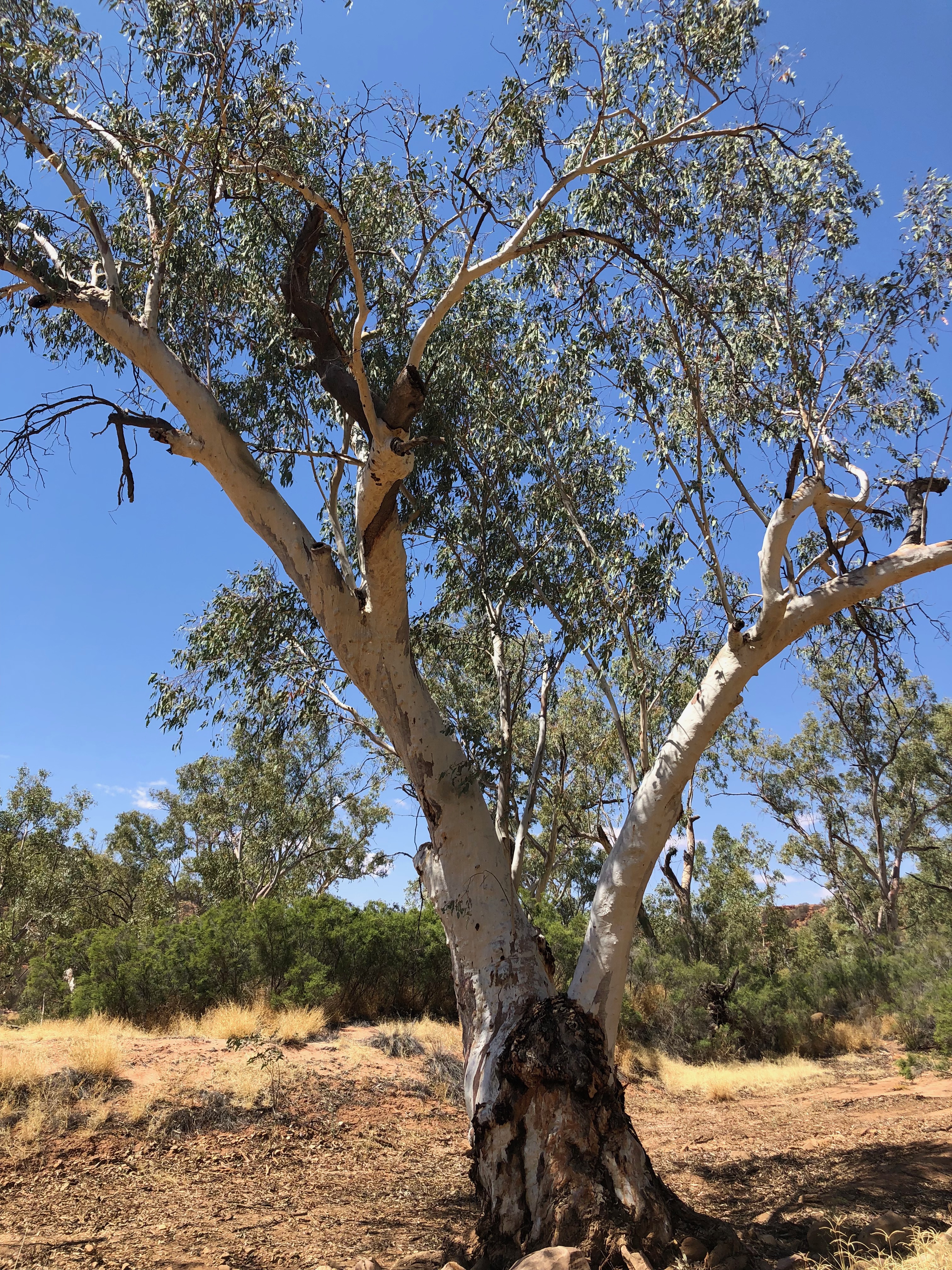
Red Bank Waterhole sounded like the perfect spot for our picnic lunch. Despite the lack of water in the hole, it was a pleasant spot to pause in the shade of the old river gums.
The long red gravel road took us to the Stuart Highway and back home to the Alice.
